Mile 67: Andover, Connecticut

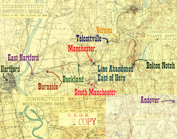
Sections of four 1890s USGS quadrangles, stitched together to show the HP&F between Andover and Hartford, CT

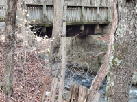
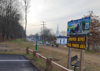
Andover is one of the most accesible parts of the Hop River State Park Trail, with decent parking, a roadbed close to US 6, and a museum and the Agent Orange memorial close by. Highlights include a beautiful large stone culvert over Staddle Brook, a modern bridge over Rte 316 built using at least the east side abutment, remains of a station platform, a modern tunnel, and a Christmas tree farm. Andover seems excited about its stop on the East Coast Greenway, and has installed hardware to help people work on bicycles and charge their phones with solar power at the old depot site.

As always, the photos run in order from east to west, ie from Providence to the Hudson

Click on the thumbnail for the full resolution image
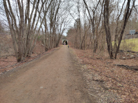
Looking east towards Willimantic and Providence at the modern tunnel under US6
Looking east towards Willimantic and Providence at the modern tunnel under US-6 (1/2023.)
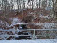
The bridge over Skoog Brook
The bridge over Skoog Brook. It is a familiar design that we have seen all over the HP&F/NY&NE (1/2023.)
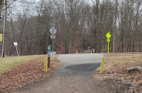
The crossing at Lake Road. In the far distance the tunnel under Route 6 can be seen and closer to the crossing we see the Skoog Brook Bridge
The crossing at Lake Road, looking east towards Willimantic and Providence. In the far distance the tunnel under Route 6 can be seen and closer to the crossing we see the Skoog Brook Bridge (1/2023.)
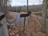
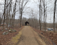
Looking west at the bridge over Merritt Valley Rd. Note the old sign and the Christmas tree farm
Looking west at the bridge over Merritt Valley Rd. Note the old sign and the Christmas tree farm (1/2023.)
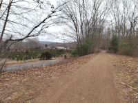
Looking east towards Willimantic and Providence at the bridge over Merritt Valley Rd
Looking east towards Willimantic and Providence at the bridge over Merritt Valley Rd (1/2023.)
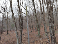
A telegraph pole on the right of way between Connecticut Rte. 316 and Merritt Valley Road
A telegraph pole on the right of way between Connecticut Rte. 316 and Merritt Valley Road (1/2023.)
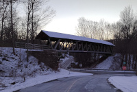
Looking west at the new bridge over CT Route 316 just east of the Andover Station Site
Looking west at the new bridge over CT Route 316 just east of the Andover Station Site (1/2023.)
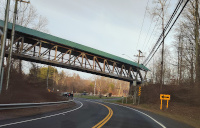
Looking north on Rte 316 at the modern pedestrian bridge spanning CT Rte 316
Looking north on Rte 316 at the modern pedestrian bridge spanning CT Rte 316. It uses the original east abutment (12/2023.)
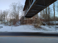
Detail of the eastern railroad abutment still in use with the modern footbridge
Detail of the eastern railroad abutment still in use with the modern footbridge (1/2024.)
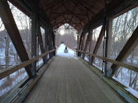
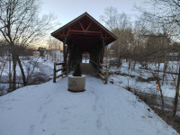
Looking south at the modern railtrail  bridge over Rte 316
Looking south at the modern railtrail bridge over Rte 316 (1/2024.)
Looking south at the modern railtrail  bridge over Rte 316
Looking south at the modern railtrail  bridge over Rte 316 (1/2024.)
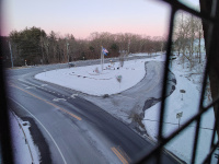
Looking north off the Andover bridge at US 6 and the Agent Orange Memorial
Looking north off the Andover bridge at US 6 and the Agent Orange Memorial. CT 316 is in the foreground (1/2024.)
Looking east towards Willimantic and Providence from the west side of the Andover Bridge
Looking east towards Willimantic and Providence from the west side of the Andover Bridge (1/2024.)
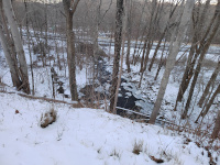
On top of the culvert over Staddle Brook, looking north
On top of the culvert over Staddle Brook, looking north (1/2024.)
Looking north at the south portal of the Staddle Brook culvert
Looking north at the south portal of the Staddle Brook culvert (1/2024.)
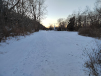
Looking west towards the site of the Andover Depot
Looking west towards the site of the Andover Depot (1/2024.)
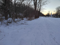
Approaching the depot site. Note the platform edge in the woods at left
Approaching the depot site, looking west. Note the platform edge in the woods at left. There's a sign with an historic photo up ahead that points this artifact out (1/2024.)
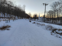
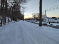
Andover Yard in the snow , looking west towards Bolton and Hartford
Andover Yard in the snow, looking west towards Bolton and Hartford (1/2024.)
The western edge of the platform, shown on the historical marker in the image below
The western edge of the platform, shown on the historical marker in the image below (1/2024.)
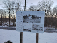
The historical marker showing the depot and pointing out the remaining platform
The historical marker showing the depot and pointing out the remaining platform (1/2024.)
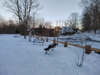
Looking back east towards Willimantic and Providence from the depot site
Looking back east towards Willimantic and Providence from the depot site (1/2024.)
Looking west towards Bolton and Hartford
Looking west towards Bolton and Hartford. The right of way is on a viaduct above US-6 for some ways (12/2023.)
Looking west on a snowy day
Looking west on a snowy day (1/2024.)
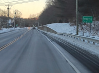
Looking east as you enter town on US-6 from the west
Looking east as you enter town on US-6 from the west. The HP&F ran on the raised concrete structure at right, and at the near end of it curves away from the road and into the woods (1/2024.)

Return to Hartford, Providence, and Fishkill Railway Index

(c) 2016-2024 Timothy M Dowd. Last Modified @ 22:39 EST on 2024-02-29
Made with KompoZer v0.8b3 (20081229)