Mile 83: Buckland, Connecticut
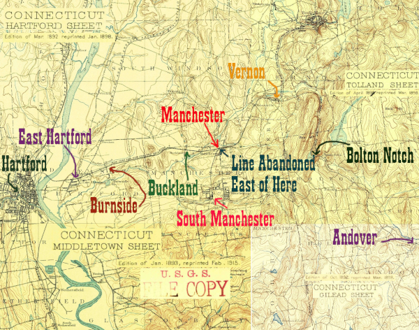
A map consisting of parts of 4 1890s USGS quadrangles, showing the HP&F stations east of the Connecticut River between Hartford and Andover

The eastern part of Manchester, near the border with East Hartford and South Windsor, is known as Buckland. The name is still in use and the Buckland Hills Mall is one of Connecticut's most well known shopping destinations. Amazingly the station and a brick building from the railroad days survive just behind the BJ's on Tolland Turnpike and can be accessed off of Adams St on a stub called Depot St. The station appears to be a small apartment building.

Click on the thumbnail for the full resolution image
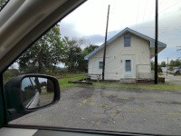
Buckland Station in Manchester, CT, looking west, 2023.
Buckland Station in Manchester, CT, looking west (9/2023.)
Buckland Station in Manchester, CT, looking east, August, 2016.
Buckland Station in Manchester, CT, looking east, (8/2016.)
Buckland Station in Manchester, CT, looking east, August, 2016.
Buckland Station in Manchester, CT, looking east, (8/2016.)
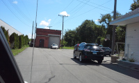
Buckland Station in Manchester, CT, looking east, September, 2023.
Buckland Station in Manchester, CT, looking east, September, 2023. Little seems to have changed here in the 6 years since the line was embargoed (9/2023.)
Buckland Station in Manchester, CT, looking east, September, 2023. Lookung up Depot St.
A view from further east on Depot Rd (9/2023.)
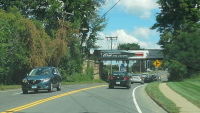
The Adams St Bridge in Manchester in 2016
The Adams St Bridge (8/2016.)
The Adams St Bridge in Manchester in 2023. Not much has changed since the line was taken out of service
The Adams St Bridge, six years after the line was taken out of service. Not much has changed (9/2023.)
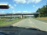
The bridge carrying the HP&F over Interstate 84 in Manchester
The bridge carrying the HP&F over Interstate 84 in Manchester (9/2017.)

Return to Hartford, Providence, and Fishkill Railway Index

(c) 2016-2024 Timothy M Dowd. Last Modified @ 22:33 EST on 2024-01-13
Made with KompoZer v0.8b3 (20081229)