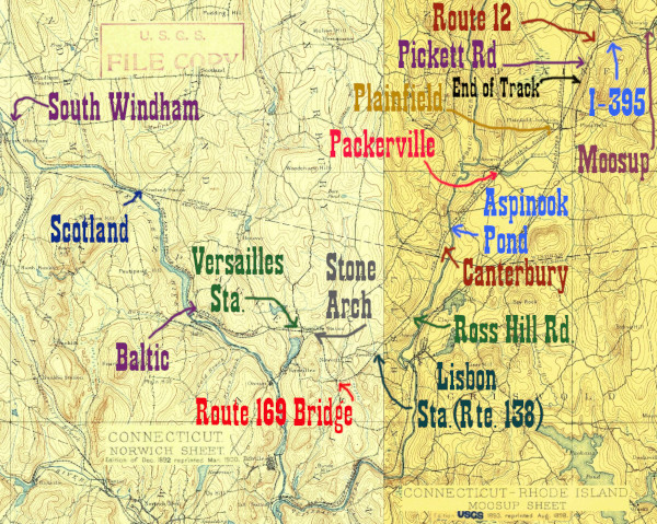
We last saw the line running southwest away from Butts Bridge Rd (CT Rte 668.) If we take that road west towards Butts Bridge itself, there's a turnoff for a canoe launch right before the bridge. At the end of the road, we reach this site. It is the very upper end of Aspinook Pond, which is the dammed up Quinebaug River. Just downstream (southwest) of the canoe launch is a large trestle across the pond/river. From here the tracks will run down the valley of the Quinebaug on the west side, until about 3 miles downstream, in the town of Lisbon opposite the borough of Jewett City. From that point, the rails do a broad arc around the village of Newent before heading northwest up the valley of the Shetucket River towards Willimantic.
The section on this page details the trestle over the pond and the railroad as visible from along Depot Road in South Canterbury, until the approximate location of the depot. My current belief about the location of the depot is that it was just north/ railroad east of the private crossing at the bend in Depot Road. This is where it turns approximately 90 degrees from an eastward road to a northward road. I'm not super sure about this, but this realtor listing for 109 Depot Road, the second house from the bend, claims that there was once a train station in front of the house. Looking at the 1934 CT Aerial Survey photograph 04735, there is a small building there. That makes it my best lead on the station location thus far.
Click on the thumbnail for the full resolution image
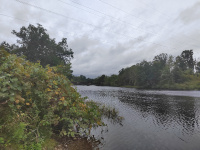 |
The trestle across Aspinook Pond/ Quinebaug River as seen from the Butts Bridge Rd canoe/kayak launch site (9/2023.) |
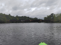 |
A wide view of the entire trestle over the pond, facing south (9/2023.) |
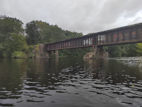 |
Facing south, the eastern abutments of the trestle (9/2023.) |
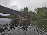 |
Facing south, the western abutments of the trestle (9/2023.) |
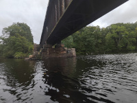 |
Going under the trestle (9/2023.) |
 |
Looking up at the bridge deck (9/2023.) |
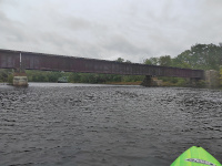 |
Facing north, looking at the trestle. The 1937 Butts Bridge carrying Rte 668 over the Quinebaug River is visible in the distance (9/2023.) |
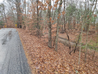 |
On the west bank of the
Quinebaug, the tracks run for a bit less than half a mile through woods
and farmland, before the part of Depot Road running approximately
north-south curves to meet them. This is looking back east towards
Plainfield from where the road leaves the tracks. A whistle sign is
just visible, this is for a private crossing for farm access to the
floodplain and an island in Aspinook Pond (12/2023.) |
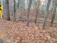 |
A closer view of the whistle sign. This is still facing towards Plainfield and Providence (12/2023.) |
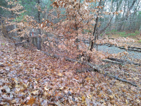 |
A bit further south on Depot Road is Mile Marker 4 of the Willimantic Secondary (measured from Plainfield Junction.) (12/2023.) |
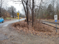 |
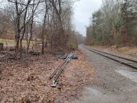
If one travels south on Depot
Road long enough, it does a 90 degree turn away from the tracks and
starts heading west towards Rte 169. At the bend is this private
crossing. In this shot, we are looking north up Depot Road from that
crossing. The HP&F right of way is heading towards Plainfield and
Providence in this direction. If the Realtor description for 109 Depot Rd is correct and the station is the small structure visible in the 1934 Aerial Photograph 04735, it would have been on this strip of land between the road and the tracks just past the driveway on the left (1/2024.) |
 |
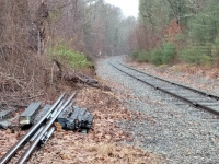
A shot from a similar location,
still facing north on Depot Road and railroad east towards Providence,
but moved a few feet to the east onto the right of way. Note mile
marker 4 in the distance (1/2024.) |
 |
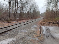
Zoomed in a bit towards mile
marker 4. Note there's another sign behind it- my guess is this is a
whistle sign for the crossing I'm standing at (1/2024.) |
 |
Looking southwest towards Lisbon
from the Depot Rd crossing. What is presumably another whistle sign for
the crossing is just visible (1/2024.) |
Return to Hartford, Providence, and Fishkill Railway Index
(c) 2016-2024 Timothy M Dowd. Last Modified @ 22:53 EST on 2024-01-30
Made with KompoZer v0.8b3 (20081229)