|
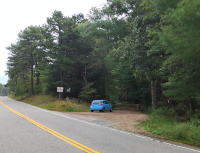
Looking across Plainfield Pike Back to the state line and Greene, RI (9/2023.)
|
|
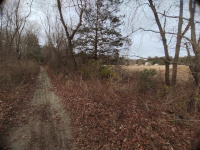
At Plainfield Pike looking towards Spring Lake Road and Oneco Station (11/2023.)
|
|
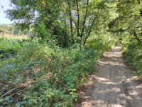
Looking towards Plainfield Pike from Spring Lake Road (9/2023.)
|
|
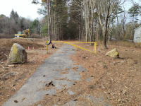
Looking
west towards Oneco
Station from Spring Lake Road. This is in November, 2023, after
substantial cleanup has happened- in September 2023 much of this area
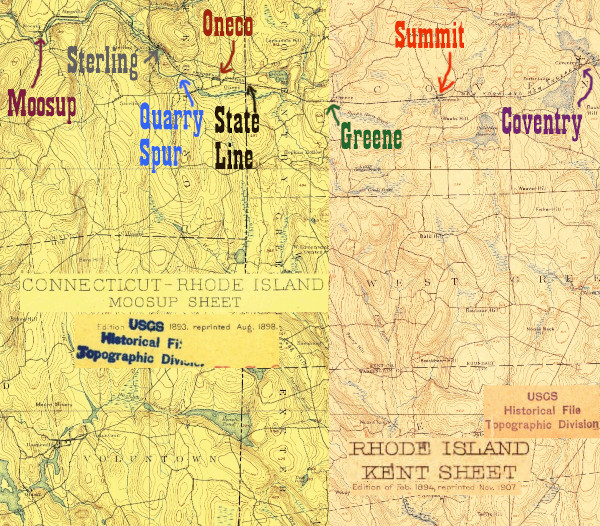
was covered in poison ivy. According to the 1893 topo map above, from
this intersection to that of Railroad Ave was the Oneco yard, with 3
tracks.
|
|
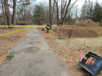
Looking west towards Spring Lake
Road from the 3 track Oneco yard. The surveyors working on upgrading
the rail trail have had some fun with some debris they are in the
process of clearing (11/2023.)
|
|
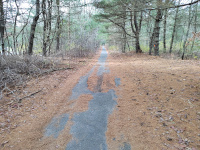
The paved part of the rail trail
in Oneco, between Spring Lake Rd and Railroad Ave. According to the
map, this was part of the three track Oneco Yard (11/2023.)
|
|
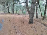
Site of the Oneco depot, looking north (11/2023.)
|
|
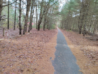
Site of the Oneco depot. This is looking west towards the quarry spur and Sterling (11/2023.)
|
|
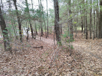
Site of the Oneco depot. This is looking south towards Railroad Ave. (11/2023.)
|
|
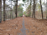
Approaching the replacement bridge over Providence Road (11/2023.)
|
|
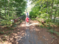
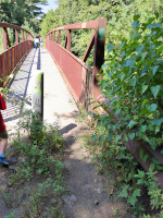
A late summer shot a bit closer to the bridge shows how overgrown the rail trail had been allowed to get (9/2023.)
|
|
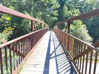
A view of the deck of the modern bridge (9/2023.)
|
|
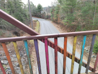
Looking south on Providence Road from the bridge installed for the railtrail (11/2023.)
|
|
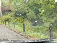
The view of the Providence Road
bridge from below. Note that in the east abutment there is a stone
culvert from the railroad days, still in use (10/2023.)
|
|
On top of the modern bridge over Providence Road in Oneco (9/2023.)
|
|
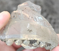
A piece of telegraph insulator, found in the sand on the roadbed just west of Providence Road (9/2023.)
|
|
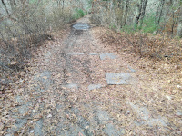
A structure in the roadbed, just
west of Providence Road. My best guess is that this is a culvert that
was later filled in? (11/2023.)
|
|
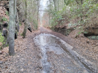
Between Providence Road and the Oneco Quarry Spur (11/2023.)
|
|
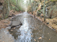
Between Providence Road and the Oneco Quarry Spur (11/2023.)
|
|
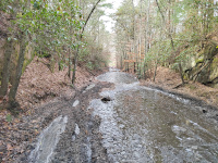
Between Providence Road and the Oneco Quarry Spur (11/2023.)
|
|
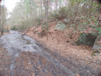
Between Providence Road and the Oneco Quarry Spur. Note the small concrete structure, built into the side of the cut. Perhaps this was for a signal? I didn't see anything else like it on this section of the line. (11/2023.)
|
|
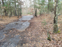
Approaching the junction with the quarry spur. Mainline straight ahead, spur to the left. (11/2023.)
|
|
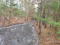
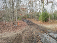
At the junction with the quarry spur. This is looking back east towards Oneco on the mainline (11/2023.)
|
|
At the junction with the quarry spur. This is looking west towards Sterling on the mainline (11/2023.)
|
Click here to continue on the mainline to Sterling. [page not ready yet]
|
End photos from HP&F mainline. Begin photos from Oneco Quarry Spur
|
|
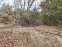
Looking back at the mainline
from the start of the quarry spur. Oneco is to the right on the flooded
path, Sterling to the left. (11/2023.)
|
|
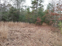
Looking towards the quarry from
the beginning of the spur. The spur is to the right- there is another
path that goes left here as well. (11/2023.)
|
|
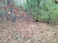
The elevated roadbed of the
quarry spur. This is not the world's most impressive photo, but this
was important to me in identifying the quarry spur and differentiating
it from the numerous side trails away from the HP&F main here. It
was clear to me when I saw this small rise of the roadbed that I had
found another railroad grade. (11/2023.)
|
|
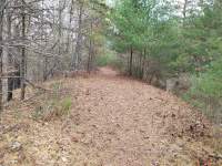
Looking north along the spur back towards the mainline (11/2023.)
|
|
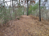
Looking south along the spur towards the abutments for the spur's Moosup River Bridge (11/2023.)
|
|
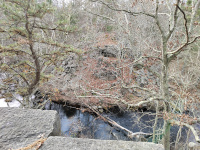
Standing on the north bridge abutment of the spur, looking across the Moosup River to the south abutment (11/2023.)
|
|
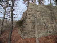
The north abutment of the spur's Moosup River bridge (11/2023.)
|
|
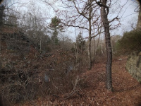
A wide-angle photo showing both abutments and the Moosup River (11/2023.)
|
|
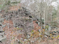
The south abutment of the Moosup River Bridge on the Oneco Quarry Spur (11/2023.)
|
