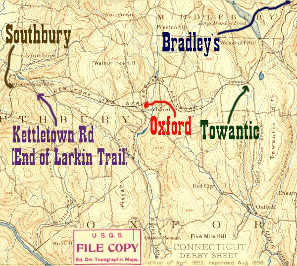
This station had a number of names over the years. It is actually in the town of Southbury and was called Southford, but according to the Tyler City Station Site was renamed Oxford to avoid confusion with Southbury. Since my 1913 timetable above calls it Oxford I'll stick with it. This was on the first section of the NY&NE to be abandoned (between Waturbury and Hawleyville), which according to the Larkin State Park Trail website happened in 1939. In 1943 Dr. Charles Larkin donated the right-of-way to make a bridle path, and one of the first railtrails has been open ever since. The section around the former Oxford depot is a worthwhile visit, with a large viaduct and interesting stone bridge over Eightmile Brook
Click on the thumbnail for the full resolution image
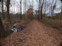 |
Looking West towards Oxford Station. There is a fair amount of water alongside the trail, which is well maintained (11/2023) |
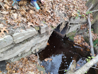 |
An old culvert under the NY&NE mainline still working in November, 2023. |
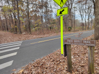 |
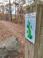
Pope Road Crossing, Looking
West. Note the old name for both the agency that runs our state parks
(DEP instead of DEEP) and the park itself (State Bridle Trail.) Many
people still call Larkin State Park Trail "the bridlepath" reflecting
its equestrian heritage (11/2023) |
 |
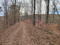
Just across Pope Rd, there is newer signage. This is still looking west (11/2023) |
 |
On the viaduct over the valley of Eightmile Brook (11/2023). This is looking west from the east side of the brook. |
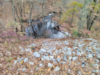 |
On the viaduct looking down on Eightmile Brook (11/2023) |
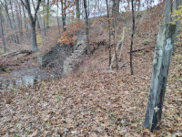 |
Below the viaduct, approaching
Eightmile Brook from the east. An upright rail tie is visible at right-
there are a number of these below the viaduct. Perhaps they mark the
property line? (11/2023) |
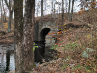 |
One
of the remarkable highlights of the NY&NE in western Connecticut,
the viaduct over Eightmile Brook preserved by Larkin State Park Trail
(11/2023.) Looking west on the east side of the brook. |
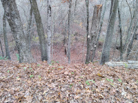 |
The viaduct over Eightmile Brook. Note that another upright rail tie is present. This is west of the brook (11/2023) |
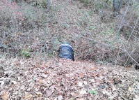 |
A modern culvert running under the rail trail (11/2023.)
The conditions elsewhere along the NY&NE (namely that which Rhode
Island is fighting between Greene, RI and Oneco, CT as it tries to
restore that section for trail use) shows how important this type of
maintanence is. |
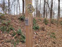 |
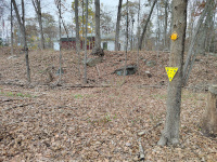
New signage as we approach the site of Oxford/Southford Depot in November, 2023 |
 |
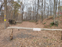
The size of the rail bed expands at Oxford Depot (11/2023) |
 |
Looking back east from the site of Oxford/Southford station (11/2023) |
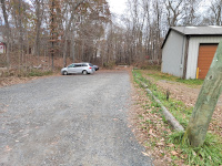 |
According to Tyler City Station,
the Oxford/Southford station was where this building is, on Route 188.
It apparently lasted until 1987 before burning down. (11/2023) |
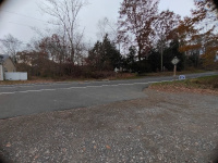 |
Looking west from the Oxford/Southford Depot site across Route 188 (11/2023) |
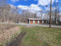 |
Looking back east across Rte 188 at the Oxford/Southford depot site (4/2024.) |
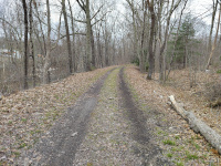 |
Looking west towards Danbury and the Hudson just past the intersection with Rte 188 and the depot site (4/2024.) |
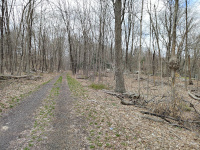 |
The terrain west of the Oxford Depot begins flat, but then runs into a cut, visible in the distance here (4/2024.) |
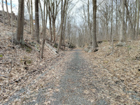 |
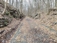
Entering the low lying railroad cut between Rte 188 and Rte 67 (4/2024.) |
 |
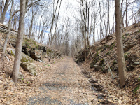
In the rock cut between Rte 188 and Rte 67 (4/2024.) |
 |
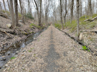
Looking back east towards Waterbury and Hartford (4/2024.) |
 |
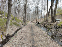
As you continue east towards
Soutbury and Danbury, there's a lot more water on either side of the
trail. This is looking west (4/2024.) |
 |
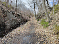
It becomes clear that the
ditches alongside the trail are part of the local storm sewer system.
This is looking east towards Waterbury and Hartford (4/2024.) |
 |
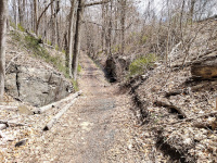
Approaching Rte 67 and looking
west, the railroad cut runs into the wall that is the modern highway. A
new concrete culvert drains stormwater into the old railroad cut, and
the Larkin Bridlepath makes a slight right onto a steeper grade to
climb up to highway level (4/2024.) |
 |
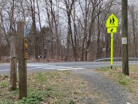
Looking back east from atop the
Rte 67 viaduct. The turn to the right and the hill of the modern Larkin
Bridlepath is obvious compared to the original railroad cut in the
distance (4/2024.) |
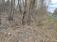
 |
Looking east across Rte 67 at the place it crosses the Larkin Bridlepath (4/2024.) |
 |
On the west side of Rte 67, the railroad cut is immediately visible but not hikeable. The
Larkin Bridlepath first follows what appears to be an older alignment
of Rte 67, which doubles as a driveway for several houses (4/2024.) |
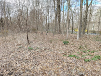 |
In the center of this photo, a
line of road guardrail type posts is visible in the woods. The
driveway/old alignment of Rte 67 is visible at far left. As best I can
tell, the guardrail was blocking a former road alignment that crossed
the railroad cut on a bridge. In the next photo we'll see an abutment
of that bridge (4/2024.) |
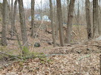 |
Looking east towards Waterbury
and Hartford, we see a bridge abutment that used to carry a road over
the railroad cut. My guess is that this is how Rte 67 once crossed the
railroad, but I am not sure. The current Rte 67 is in the backround
running normal to it between the abutment and the house behind it
(4/2024.) |
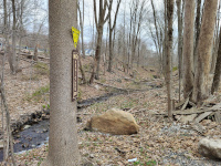 |
This is a more full view of the
unhikeable part of the railroad cut, which has water runing through it
now. We are looking back east towards Waterbury and Hartford
(4/2024.) |
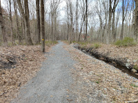 |
Looking west towards Danbury and Fishkill (4/2024.) |
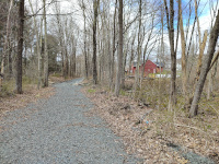 |
Looking west towards Danbury and
Fishkill. This section of the trail has clearly recently had work done
to prevent erosion and place new ballast. The work has exposed various
metal and glass railroad artifacts, which are lying in various places
along the trail (4/2024.) |
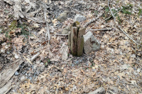 |
A wooden post along the Larkin Bridlepath (4/2024.) |
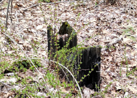 |
Another wooden post (4/2024.) |
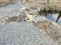 |
This is a shot of the new
gravel, but also how hard it is to keep water off this part of the
roadbed. Also note the metal railroad artifact (4/2024.) |
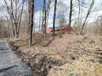 |
Looking west towards Danbury and Fishkill (4/2024.) |
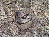 |
More metal tail artifacts along the trail (4/2024.) |
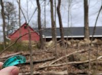 |
A piece of a telegraph insulator (4/2024.) |
 |
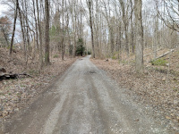
This is looking east towards
Waterbury and Hartford. The Larkin trail is straight. Behind the camera
and west of here, the trail doubles as a driveway for a small number of
houses, which are down the path to the right. That makes this one of
the few sections of the HP&F/NY&NE that is open to car access
(4/2024.) |
 |
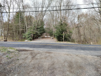
The small section open to cars.
This is looking west towards Danbury and Fishkill. The driveway section
is not long, ending at the intersection with Curt Smith Rd, ahead
(4/2024.) |
 |
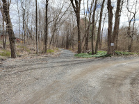
Looking west at the Curt Smith Rd crossing. As can be seen, no vehicles are allowed west of this crossing (4/2024.) |
Return to Hartford, Providence, and Fishkill Railway Index
(c) 2016-2024 Timothy M Dowd. Last Modified @ 00:03 EST on 2024-04-13
Made with KompoZer v0.8b3 (20081229)