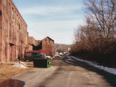
The tracks are fairly visible north of bridge street, as they run by an old factory (this shot looking towards the station site:)
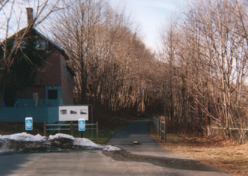
After this, the raised roadbed is visible above the Mad River:
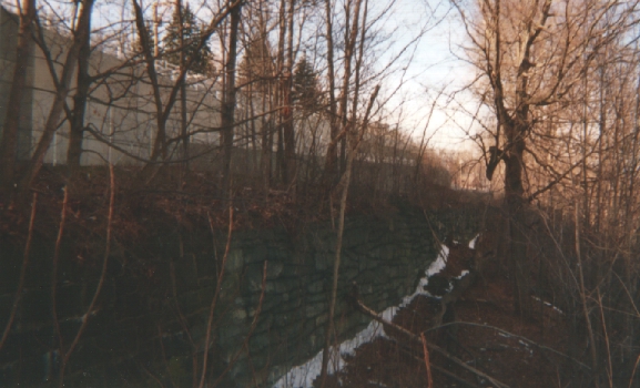
This picture is from on a footbridge over the river, looking east. The roadbed is on top of the stonework, marked by the modern fence:
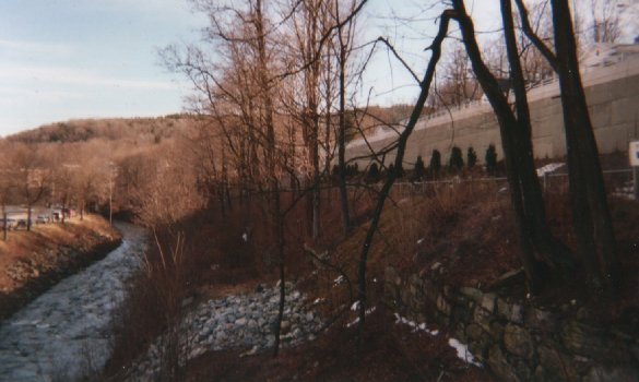
Same place, westward:
The abuttment for this modern footbridge is unmistakeably CNE brownstone; there was always some sort of bridge here:

It's pretty incredible that this survived, considering the flood of 1955 utterly devastated downtown Winsted. This is again tribute to the good building skills that the original Connecticut Western engineers had around the middle of the 19th century.
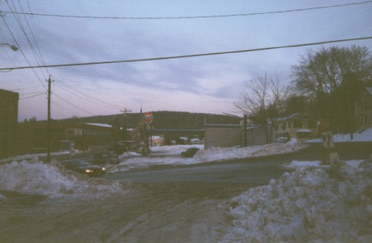
Winsted was important for Naugatuck Railway fans, as there was a turntable for locomotives west of the city. For the Naugy, this was a terminal station. An old railroad signal and a historic place marker on the Central roadbead explain all of this, although the information about the CNE has to be gleaned from the stuff there about the Naugatuck.
The next place we have visited is west of Winsted in the Mad River Valley.