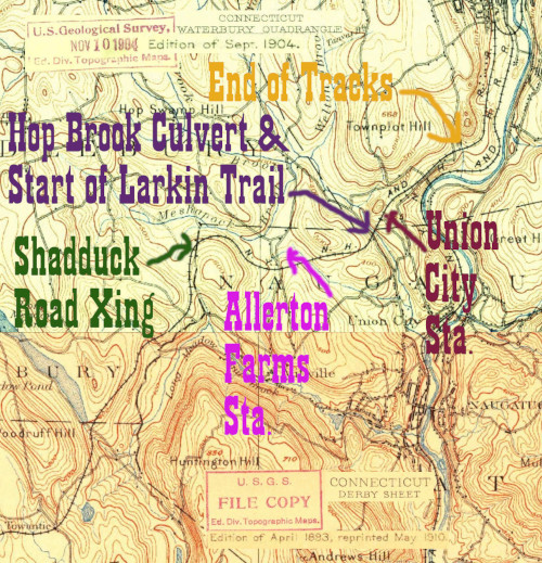
This section of the NY&NE today consists of two of the Waterbury area's flagship sites for public land access: the US Army Corps of Engineers Hop Brook Lake and Dam Site and the beginning of the Larkin State Park Trail. The history of the railroad here is complex, and without the excellent summary, maps, and explanation at the Tyler City Station site (check under Allerton Farms, Bradley, and Union City) I would have a hard time understanding what is going on. Suffice it to say that the Allerton Farms stop listed in the 1913 NYNH&H timetable I'm using to organize this site is a later stop that replaced two earlier ones, and that the Rte 63 crossing is an extremely fascinating place that used to be spanned by a huge trestle and stone arch, and a culvert from that project still spans Hop Brook on Corps land today. On the Waterbury page we saw the end of the tracks at Highland Ave, because this section of mainline was abandoned in the late 1930s. In 1943 Dr. Charles Larkin saved a ten mile stretch for horseback riding, and one of Connecticut's first rail-trails was born.
Click on the thumbnail for the full resolution image
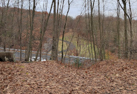 |
Standing
on the western side of the former trestle over Route 63 and Hop Brook,
looking towards the eastern side. The enormous size of the former
trestle is obvious. Where I'm standing is Connecticut State Park land
(Larkin) and the other side of the trestle, at the top of that grassy
hill, is US Army Corps of Engineers land (Hop Brook Lake) (11/2023) |
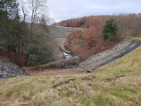 |
Standing in the valley between
the two sides of the trestle. I am looking north towards Hop Brook Lake
Dam and the top of the stonework of the railroad-built culvert is
visible. As detailed in the US Army COE page about Hop Brook Lake, the dam is part of the flood control projects created in response to the flood of 1955. (11/2023.) |
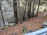 |
A view of the railroad culvert carrying Hop Brook under the former trestle (11/2023.) |
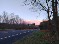 |
Looking South on Route 63 from the trailhead of the Larkin State Park Trail (11/2023.) |
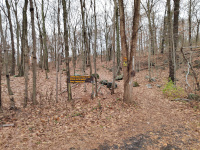 |
The trailhead of the Larkin
State Park Trail on Route 63. The hike up to the railroad grade is
obvious, reflecting the size of the former trestle here (11/2023.) |
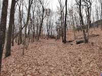 |
Looking west at the very beginning of the section of NY&NE that is now the Larkin State Park Trail (11/2023.) |
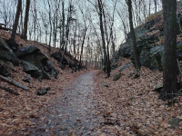 |
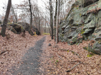
An interesting railroad cut near the start of the Larkin State Park Trail (11/2023.) |
 |
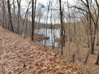
An interesting railroad cut near the start of the Larkin State Park Trail (11/2023.) |
 |
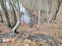
A pond next to a large viaduct on the Larkin State Park Trail (11/2023) |
 |
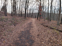
The culvert under the viaduct seems almost comically small given the size of the lake (11/2023) |
 |
Looking west towards the site of the Allerton Farms Station. According to the Tyler City Station site, the station would have been on the right side of this image (11/2023.) |
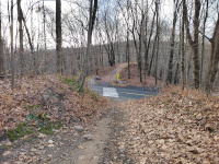 |
Looking west at the Allerton
Road Crossing. It's fairly obvious that a bridge over the road is
missing, and that bridge can be seen on the Tyler City Station site. According to that site, the station would be on the right side of this image (11/2023.) |
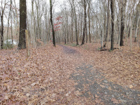 |
Looking east from the Allerton Road Crossing. According to the Tyler City Station site, the depot would have been on the left side of this photo (11/2023.) |
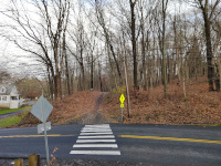 |
Looking east at the Allerton Road Crossing. It's fairly obvious that a bridge over the road is missing, and that bridge can be seen on the Tyler City Station site. According to that site, the station would be on the right side of this image (11/2023.) |
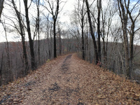 |
West of Allerton Road, the roadbed is much higher than the surrounding landscape (11/2023.) |
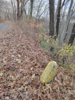 |
On the stretch of NY&NE
between Allerton and Shadduck Roads, there are markers of some sort.
There are are fair number- they're all about shin high, made of
reinforced concrete, and have a metal disc on top. I have not seen
these elsewhere along the NY&NE so their meaning is unclear to me.
(11/2023) |
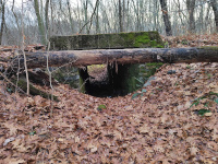 |
A culvert for a small stream underneath the NY&NE (11/2023) |
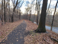 |
Approaching the Shadduck Road crossing headed west. Shadduck Road is running alongside the NY&NE (11/2023.) |
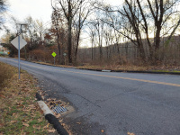 |
The Shadduck Road crossing, looking west (11/2023.) |
Return to Hartford, Providence, and Fishkill Railway Index
(c) 2016-2023 Timothy M Dowd. Last Modified @ 10:36 EST on 2023-11-23
Made with KompoZer v0.8b3 (20081229)