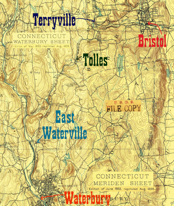
(click image to zoom)
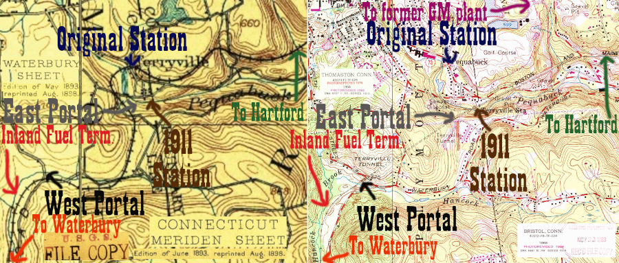
The map above shows the section of the railroad that turns south from Bristol as it heads towards Waterbury. The tracks in Terryville are complex enough that they warrant further detail: below is a side by side comparison of the 1890s USGS 15 minute quadrangles and the 1980s modern 7.5 minute quadrangles:
(click image to zoom)
Tyler City Station has the best discussion of what you will see as you enter Terryville from the east. The original route wound its way to the north of what's now Rte 72 in the village of Pequabuck, then crossed the Pequabuck River and wound south around Sylvan Hill. In 1911 the Pequabuck Tunnel opened along with a new station. The old mainline was converted into a turning loop. In the late 1960s, a spur was built to the new General Motors plant in Bristol from the loop track.
Click on the thumbnail for the full resolution image
| Click here to return to the mainline through Terryville and the Pequabuck Tunnel |
|
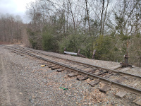 |
Looking west at the switch between the two Terryville routes. To the left lies the post-1911 route to the Pequabuck Tunnel,
while the tracks to the right curve towards the village of Pequabuck
and follow the old main line (in reverse) towards the original station
site (3/2024.) |
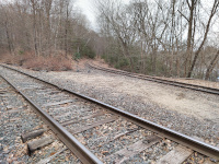 |
Looking at the loop track
diverging to the north, which is the track in the background. In the
foreground is still the mainline, heading towards the Pequabuck Tunnel
(3/2024.) |
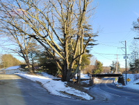 |
Looking southeast on CT Rte 72.
The first Terryville depot is at left and the bridge over Rte 72 at
right. A train traveling to the right here before 1911 would be heading
west, post 1911 it would be looping back east or heading towards the GM
plant (2/2024.) |
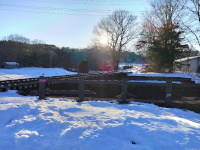 |
Looking over the bridge from the first Terryville station back towards the junction with the mainline (2/2024.) |
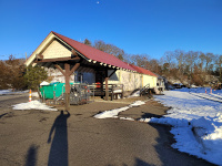 |
Looking east along the loop towards the GM plant at the first Terryville Station (2/2024.) |
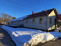 |
Looking at the north side of the first Terryville depot. The tracks are on the other side (2/2024.) |
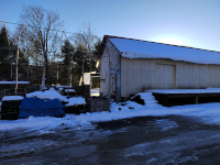 |
Looking west along the north side of the first Terryville station. This is the freight station portion (2/2024.) |
Return to Hartford, Providence, and Fishkill Railway Index
(c) 2016-2024 Timothy M Dowd. Last Modified @ 22:30 EDT on 2024-03-10
Made with KompoZer v0.8b3 (20081229)