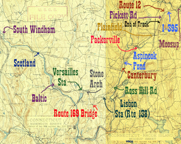
The Tyler City Station site has good maps that show the location of the former station as being on the northwest corner of Rte 97 and Wall St. It is an interesting site to visit because parts of the old station foundation are clearly visible in the embankment.
Click on the thumbnail for the full resolution image
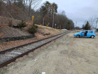 |
Looking back towards Route 97 from the Baltic Station site (12/2023.) |
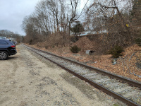 |
Looking towards the Baltic Station Site. The depot was to the right of the tracks, built into the hill (12/2023.) |
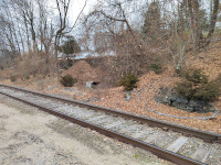 |
Looking at the location of the Baltic Station. Note the surviving foundations (12/2023.) |
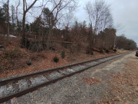 |
Looking at the location of the Baltic Station with a wide angle lens. Note the surviving foundations (12/2023.) |
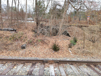 |
Looking at the location of the Baltic Station. Note the surviving foundations (12/2023.) |
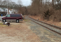 |
Part of a spare rail holder. This is one of three I know of along the HP&F; there's one holding rails, with a sign explaining it, in Vernon. We found another in Columbia just west of Willimantic. My father, Bernard Dowd, who found the one here after I overlooked it, remembers that these were common around the New Haven system (12/2023.) |
Return to Hartford, Providence, and Fishkill Railway Index
(c) 2016-2024 Timothy M Dowd. Last Modified @ 22:00 EST on 2024-01-21
Made with KompoZer v0.8b3 (20081229)