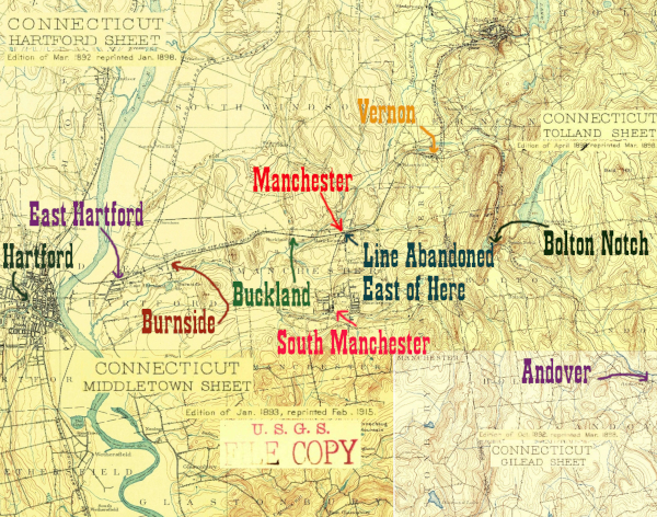
Of the railtrail portions of the HP&F, two locations, Vernon, CT and Coventry, RI, stand out for the thought that has gone into preserving original rail artifacts where possible and placing educational signs along the trail to teach the public about significant locations and features from railroad days. Vernon truly goes above and beyond, with a free local map, community outreach, and effective promotion of both its part of the HP&F main and also the Rockville Branch.
Features of this section include the 1849 tunnel carrying Tunnel Rd through the HP&F viaduct, great views from the top of the viaduct into both forests and suburbs, lots of telegraph poles, the junction with the Rockville Branch, and lots of railroad remains, including a rail rack, a removed bridge, the remains of a turntable, and the footings of a water tank.
As always, photos are arranged east to west, as if you were on a train from Providence heading towards the Hudson.
Click on the thumbnail for the full resolution image
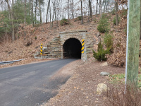 |
Looking
towards the north at the south portal of the Vernon Tunnel. The
HP&F mainline is on the viaduct above the portal (12/2023.) |
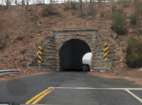 |
A lower quality image of a
similar scene, this one was grabbed as a still from a video of a car
driving through the road tunnel. Its value is that it does a good job
showing the tunnel's length (12/2023.) |
 |
Partway through the road tunnel, there's enough light to see the natural color of the walls (12/2023.) |
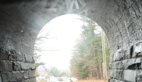 |
Emerging from the road tunnel, the camera gets washed out but you get a good view of how it is constructed (12/2023.) |
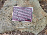 |
A plaque explaining the tunnel's history (12/2023.) |
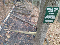 |
It
is a long way up to the top of the viaduct. Also, a sign for the
volunteer organization that makes this part of the HP&F so special
(12/2023.) |
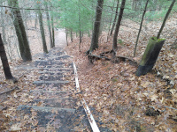 |
Looking back down the path to street level from the top of the HP&F right of way (12/2023.) |
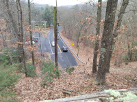 |
Looking south down Tunnel Road from the HP&F right of way above the south portal (12/2023.) |
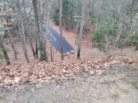 |
Looking north up Tunnel Road from the HP&F right of way above the north portal (12/2023.) |
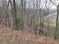 |
Looking northeast to Warren Ave & Tunnelview Terrace (12/2023.) |
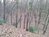 |
Looking to the southeast, a nice wooded view (12/2023.) |
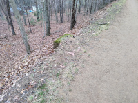 |
A concrete base to what I assume
is a signal or some type of sign- these seem common along the HP&F
between Manchester and Willimantic (12/2023.) |
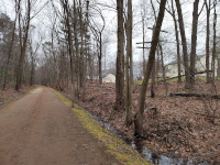 |
A typical stretch in suburban Vernon. Looking east towards Providence (12/2023.) |
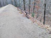 |
A spare rail holder, whose context is clearly explained by the adjacent sign.
We have found others along the HP&F. An intact one is in Columbia just outside of
Willimantic. There is a partial one at the site of the Baltic Depot along the active Willimantic Secondary. My father, Bernard
Dowd, who found the one in Baltic after I overlooked it, remembers that
these were common around the New Haven system (12/2023.) |
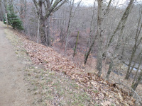 |
A wooded area, looking
southeast. The HP&F through Vernon is characterized by weaving in
and out of suburbs and woods, often high up on a raised viaduct. Note
the tree decorated for Christmas (12/2023.) |
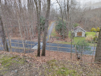 |
Looking down on Warren Ave, with the walking path to the Rockville Branch diverging off.
In the distance, this path can be seen turning right as it heads up a
relatively steep hill. At this point, it reaches the grade of the
Rockville Branch, which can almost be seen heading off to the left into
the woods. This is an odd situation. When the railroads were active,
they would be heading towards each other at this location from right to
left, clearly about to intersect somewhere off to the left. How can
this trail at a much lower grade that is perpendicular to the HP&F
be the Rockville Branch? Although both the HP&F mainline and the Rockville Branch are maintained rail trails, the former bridges at Phoenix St were removed. We are about to start descending to street level on a long ramp, with the railroad grade running above us. At Phoenix St, we can either walk up another ramp on the other side to the depot/yard/junction site, or we can walk down Phoenix to Warren and take this crosswalk, where we ascend up to the former grade of the Rockville Branch (12/2023.) |
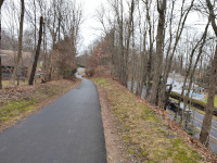 |
This shows the decent of the
modern rail trail as we head west towards Phoenix St. The railroad
grade remains at the level of the dirt, treelined space in the middle.
We can see Phoenix St, much lower than us currently, in the distance.
The Rockville Branch right of way would be running almost parallel to us
on the other side of the gray house (12/2023.) |
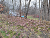 |
This image is a bit further west
and turned 90 degrees towards the north from the previous one. We can
see the abandoned section of the Rockville Branch right of way running
above the yard between the pool and the red canoes (12/2023.) |
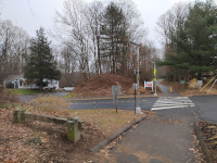 |
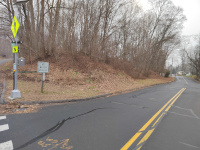
Looking
east across Phoenix St to the site of the eastern abutment for the
mainline bridge. The large birm at center is the right of way, the rail
trail has come off it to slope down and meet the road (12/2023.) |
 |
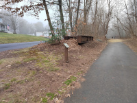
Looking west across Phoenix St
to the site of the western mainline bridge abutment, which is the hill
behind the "No Motor Vehicles sign in the foreground. In the distance,
down the street, a similar hill can be seen; this is where the abutment
for the Rockville Branch would have been (12/2023.) |
 |
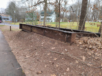
Ascending the hill on the
opposite side of Phoenix St to reach track level again, looking to the
west, we come across the remains of one of the bridges over Phoenix St.
Church St. is the road parallel at left and the way to go to access the depot site by car (1/2023.) |
 |
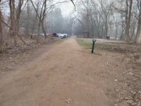
A closer view of the bridge remains, looking back east (12/2023.) |
 |
Approaching the depot site, looking west towards Hartford. The wood outline on the ground is the footprint of the original station, and according to the sign at the site (see next photo) the shelter, built by an Eagle Scout named Timothy Nelson, is a scale model of the roofline of the original depot (12/2023.) |
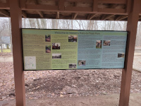 |
The orientation sign at the site of the Vernon Depot (12/2023.) |
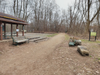 |
Looking back east along the main line towards Providence (12/2023.) |
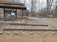 |
Just beyond the outline of the station (actually straight behind the picnic table) is a ring shaped structure. A map at Vernon Depot and signage onsite indicate this was the old turntable (12/2023.) |
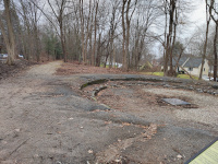 |
A view of the turntable and the HP&F mainline leading west towards Manchester and Hartford (12/2023.) |
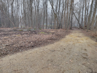 |
Looking east at an area east of
the turntable. We can see the start of the Rockville Branch here,
headed towards its own removed bridge across Phoenix Street. To the
left, we can see the footings of the old water tank. (12/2023.) |
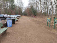 |
Looking west towards Hartford
along the path in front of the shelter. This trackway and the one next
to the turntable merge before the HP&F right of way reaches the
next crossing west, Dobson Rd. (12/2023.) |
Return to Hartford, Providence, and Fishkill Railway Index
(c) 2016-2024 Timothy M Dowd. Last Modified @ 22:25 EST on 2024-01-22
Made with KompoZer v0.8b3 (20081229)