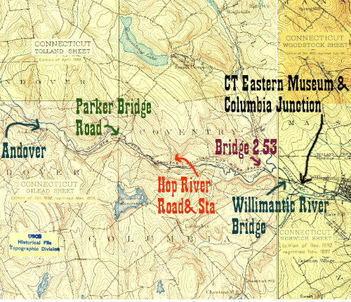
This is one of the most scenic places along the Hartford, Providence, and Fishkill currently accesible to the public. Highlights include the last unrestored bridge between Hartford and Willimantic (the eastern bridge over the Hop River, bridge 2.53, slated for demolition and replacement,) many telegraph poles, a milepost, and lots of restored and in-use bridges and culverts, including the western bridge over the Hop River. The Hop River station is also extant a bit further north than its original site on Hop River Road- this is private property and should only be viewed from the road.
Click on the thumbnail for the full resolution image
| Previous Section |
Willimantic |
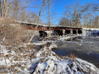 |
A view of the historic Bridge 2.53 from river level, looking east towards Willimantic. One can see why the bridge is considered to have failed- one of the support piers has sunk into the riverbed. Here is a link to the site for the bridge replacement project. (1/2024) |
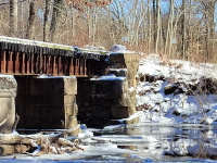 |
The sign on the eastern side of
the bridge informing trail users that the next section of trail is
closed (until the Flanders Rd tunnel.) I find this quite curious-
shouldn't the signs be on the western side of the bridge so it is
included in the trail closure? (1/2024.) |
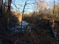 |
The deck of the abandoned historic Bridge 2.53, the eastern Hop River Bridge (12/2016) |
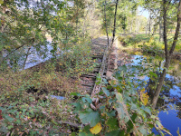 |
A bridge replacement project was approved in 2021, but this photo, from October, 2023, shows little progress except some more decay of the bridge (10/2023.) |
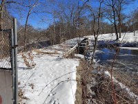 |
A winter view (1/2024.) |
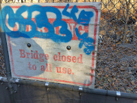 |
A clear warning about the unstable condition of the bridge in December, 2016 |
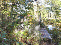 |
Seven years later, the warning is illegible (10/2023) |
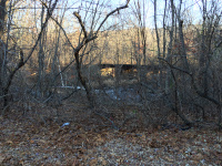 |
A view of the historic Bridge
2.53, the eastern Hop River Bridge, from Kings Road. (12/2016) |
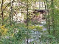 |
A closer view of one of the stone piers on bridge 2.53. This is still shot from Kings Road (10/2023) |
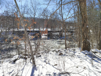 |
A deep winter's view from Kings Road (1/2024.) |
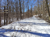 |
Looking west towards the Kings Road Crossing, Manchester
and Hartford from Bridge 2.53. In the summer this part of the right of
way is not maintained and is often overgrown with brush (1/2024.) |
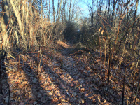 |
Looking towards Bridge 2.53 on the abandoned roadbed east of Kings Road (12/2016) |
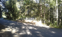 |
Barricades blocking the abandoned section of the HP&F east of the Kings Road Crossing in September, 2016 |
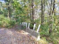 |
Six years later the barricades
have been removed. Construction is allegedly coming soon... but some
warning signs would probably be a good idea here. (10/2023) |
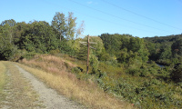 |
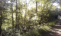
My favorite telegraph pole along the HP&F/NY&NE- under a power line clearing just west of Kings Road (9/2016) |
 |
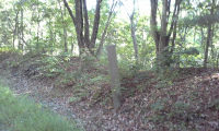
Late afternoon in late summer along the HP&F/NY&NE (9/2016) |
 |
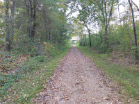
An old milepost along the
Hartford, Providence and Fishkill. This looks similar to me to those
along the Northeast Corridor and thus I guess this is NYNH&H era.
(9/2016) |
 |
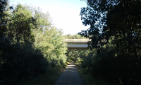
The same milepost, looking west towards Manchester (10/2023) |
 |
Looking East under modern Route 6 (9/2016) |
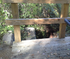 |
A modern deck on an old stone culvert (9/2016) |
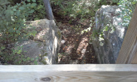 |
A modern deck on an old stone culvert (9/2016) |
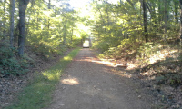 |
Looking west through the Pucker St Tunnel in September, 2016 |
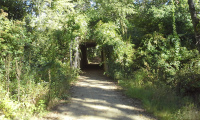 |
Looking east through the Pucker St Tunnel in September, 2016 |
 |
Along the Hop River (9/2016) |
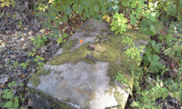 |
The base of some structure,
perhaps a signal. It is made out of concrete and rail. It is east of
the Hop River Road crossing (9/2016) |
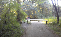 |
Looking West towards the Hop River Road Crossing and Station Site (9/2016) |
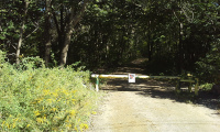 |
Looking East from the Hop River Road Crossing in September, 2016 |
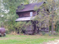 |
The Hop River Station, moved
slightly north on Hop River Road. This is private property, please do
not trespass. I viewed it from the road. (10/2023) |
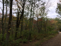 |
Approaching the western Hop River bridge heading west from Hop River Road (10/2017) |
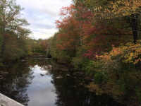 |
The Hop River as seen in autumn from the western bridge (10/2017) |
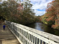 |
The western of the two bridges over the Hop River (10/2018) |
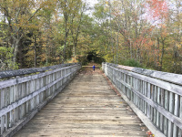 |
The western of the two bridges over the Hop River (10/2018) |
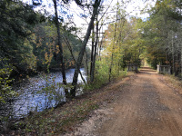 |
An autumn scene along the HP&F/NY&NE (10/2018) |
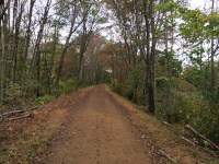 |
An autumn scene along the HP&F/NY&NE (10/2017) |
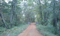 |
A restored bridge on the HP&F/NY&NE (10/2016) |
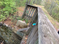 |
A restored bridge on the HP&F/NY&NE (10/2017) |
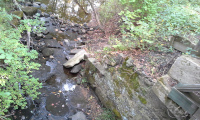 |
A restored bridge on the HP&F/NY&NE (10/2016) |
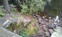 |
Old Stonework still managing water along the HP&F / NY&NE (10/2016) |
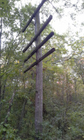 |
L5, A telegraph pole along the
HP&F / NY&NE. I use this as kind of a mile marker to tell where
I took various photos (10/2016) |
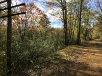 |
Telegraph pole L5 and colleagues (10/2018) |
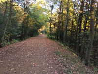 |
Autumn along the HP&F/NY&NE (10/2017) |
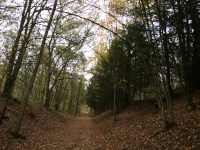 |
Autumn along the HP&F/NY&NE (10/2017) |
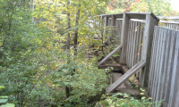 |
A bridge over a tributarty of the Hop River has both new and old parts (10/2016) |
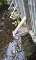 |
A bridge over a tributarty of the Hop River has both new and old parts (10/2016) |
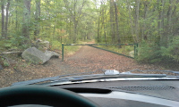 |
Looking East from the Parker Bridge Road Crossing in October, 2016 |
| Next Section |
Andover |
Return to Hartford, Providence, and Fishkill Railway Index
(c) 2016-2024 Timothy M Dowd. Last Modified @ 19:08 EDT on 2024-05-19
Made with KompoZer v0.8b3 (20081229)