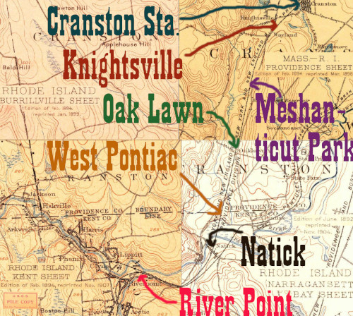
I'm not exactly sure of this station's location. Edward Ozog and the Providence Public library on their depot photo (see below) give coordinates that place it east of the intersection of Cranston St and B St, catty-corner to the Knightsville Branch of the Cranston Public Library. On the other hand, when I took my bike ride from River Point to Arlington (Mile 11 to Mile 2.6) the bike tracking software put me at the correct milage in the area between Uxbridge St and the Oaklawn Ave overpass. That's a bit further towards Hartford. Also, note that the intersection of the railroad and what appears to be Oaklawn Ave is marked on the 1894 map above as "Wayland," a name that the entry on Meshanticut Park on the Rhode Island State Parks website says was synonymous with the Knightsville station stop. There is a Wayland Ave parallel to B Street that intersects the HP&F/Washington Secondary just south of Uxbridge Street, where my milage seemed to indicate the station should be. That road appears to be on the on the 1894 USGS map above.
Click on the thumbnail for the full resolution image
| Previous Section |
Cranston |
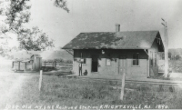 |
A vintage photograph, from the Edward Ozog Collection at the Providence Public Library, of Knightsville Station. There's a dirt road running behind it, presumably Cranston Street (1890) This work is licensed under a Creative Commons Attribution-ShareAlike 4.0 International License. |
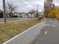 |
A view of the station location,
according to the coordinates given in the Ozog collection. The Cranston
Public Library Knightsville Branch is at far left, at the intersection
of Cranston Street and B Street.The station would be catty-corner to this, near the billboard and the trees behind it (11/2023.) |
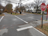 |
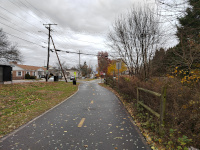
Looking southwest across
Uxbridge Street towards the station location suggested by the bike GPS.
Note Wayland Street in the distance (11/2023.) |
 |
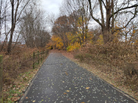
Looking east towards Uxbridge Street (11/2023.) |
 |
Looking west from near Uxbridge Street (11/2023.) |
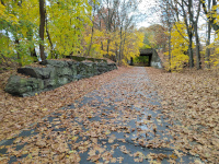 |
A stone and concrete structure
near the site of the Knightsville Station. In this shot I am looking
west towards Meshanticut and Oak Lawn. In the distance is the Oaklawn
Ave overpass. (11/2023) |
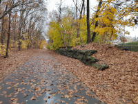 |
Looking back east towards Cranston and Arlington (11/2023.) |
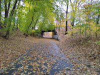 |
The Oaklawn Ave overpass, near
the suspected Knightsville Station. This appears to be looking east to
Cranston and Arlington (11/2023.) |
| Next Section |
Meshanticut |
Return to Hartford, Providence, and Fishkill Railway Index
(c) 2016-2024 Timothy M Dowd. Last Modified @ 23:46 EDT on 2024-07-08
Made with KompoZer v0.8b3 (20081229)